Entrance to the Mediterranean Sea
Background
Gibraltar is a British Overseas Territory located at the southern tip of the Iberian Peninsula, sharing its northern border with Spain. It is strategically positioned at the entrance of the Mediterranean Sea, overlooking the Strait of Gibraltar, which connects the Atlantic Ocean to the Mediterranean Sea. Gibraltar is a narrow peninsula covering an area of about 6.7 square kilometers.
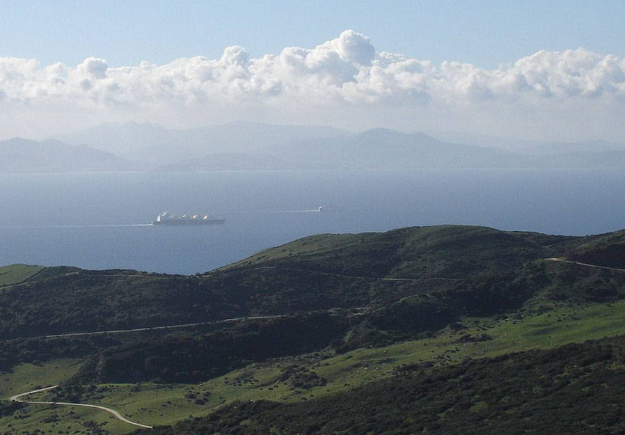 One of Gibraltar’s key geographical features is the Strait of Gibraltar, a narrow waterway that separates Europe from Africa. This strait is is only about 14 kilometers wide at its narrowest point. As a crucial maritime passage it is passed by more than 100,000 vessels per year. With this it is one of the busiest shipping lanes in the world, connecting the Atlantic Ocean to the Mediterranean Sea. The port of Gibraltar facilitates significant maritime activities, serving as a refueling and supply point for ships passing through the strait.
The Strait of Gibraltar is also known for the occurrence of internal waves. These are large waves that form within a fluid medium, typically at the interface between layers of different densities. In the strait, the interaction between tidal currents and the varying water density creates internal waves. These waves can have a significant impact on underwater navigation and the distribution of marine life.
Satellite technology plays a crucial role in monitoring and studying the maritime activities around Gibraltar. Satellites provide real-time data on ship movements, ocean currents, and environmental conditions. This information is valuable for navigation, maritime security, and environmental monitoring. Additionally, satellite imagery helps scientists and researchers study the dynamics of the Strait of Gibraltar, including the behavior of internal waves and other oceanographic phenomena.
Exercises
- Satellite Map:
- Look at the satellite image map and select the Sentinel-1 satellite layer.
- Describe the satellite image and the land cover classes you can identify.
- Which features can you identify in the water surface? Zoom in to the Strait of Gibraltar and try to count ships.
- Look east of the Strait of Gibraltar – what type of wave structures can you see there? Try to estimate a typical wavelength of these waves.
- Deselect the Sentinel-1 radar satellite image and select the Sentinel-2 optical satellite image.
- Describe the land use types you can see in the region and compare with your findings with the radar satellite image.
- EO Browser:
- Open the EO Browser.
- Find the most recent Sentinel-1 dataset covering the area displayed in the satellite map.
- Select a visualisation of your choice.
- Can you identify harbour structures and vessels?
Links
Links:
|