A sprawling metropolis at the Nile River
Background
Located at the fertile banks of the Nile River, Cairo, the capital of Egypt, has a rich history that traces its roots back over 4,000 years. One fascinating aspect of Cairo’s development is its proximity to the Giza Plateau, home to the Pyramids and the Great Sphinx.
Cairo’s foundation dates to the 10th century AD when the Fatimid Caliphate established it as a strategic military outpost. Initially a center of governance and trade, the city gradually expanded as an urban hub. The influence of Giza’s ancient monuments on the city’s development cannot be understated, as the pyramids attracted pilgrims and travelers from around the world.
Over the centuries, Cairo became a melting pot of cultures, blending ancient Egyptian, Islamic, and various regional influences. The Islamic heritage of Cairo, evident in its mosques and palaces, merged with the ancient structures of Giza. As Cairo grew, it extended westward, embracing the Giza Plateau and incorporating the nearby villages.
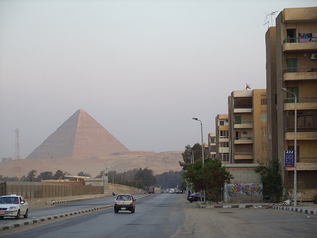
Modern Cairo has come closer and closer to the ancient pyramids of Giza.
In contemporary times, Cairo has evolved into a bustling metropolis, but its close association with Giza remains a vital aspect of its identity. The Pyramids of Giza and the Sphinx continue to serve as prominent symbols of Egyptian heritage, drawing tourists and archaeologists from across the globe. As a result, Cairo’s proximity to these ancient wonders has played a significant role in establishing the city as an indispensable center for tourism, education, and cultural exchange.
Exercises
- Satellite Map:
- Look at the satellite image maps and click on the layer selector in the upper right. Deselect the layer group “Cairo Detail” by unticking the respective box.
- Toggle between the satellite images of the group “Delta” from 2023 and 2002. Where are the modifications of the landscape most prominent?
- Where can you find an increase of acricultural land, where a decrease? What do you think are the sources of water required for irrigating these areas?
- Deselect the layer group “Delta” by unticking the respective box.
- Add the layer group “Cairo Detail” and zoom to the extent of these images.
- Toggle again between the satellite images from 1987 and 2023.
- Which differences can you identify? Focus on the built-up area.
- Can you identify the pyramids of Giza? How has their environment changed?
- EO Browser:
- Open the EO Browser.
- Find the most recent Sentinel-2 dataset covering the area displayed in the satellite map.
- Select a true colour visualisation.
- Compare with the Satellite Map. Can you identify additional substantial changes (check e.g. built-up areas)?
- Select the false colour infrared representation. Can you identify the land-use of the most intensely vegetated areas (represented by bright red colours)?