 Satellite remote sensing comprises all activities connected with collecting information about the Earth system using space borne instruments. During the past decades, satellite remote sensing has become an extremely wide field as the number of satellites and used data acquisition systems have increased enormously. This section shall provide a high-level overview of some important systems and their principles. Applications are presented in the other sections, which follow a thematic approach.
Select your Case Study:
| From satellite data to information | |
|---|---|
 |
Spectral information: what information is collected? |
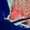 |
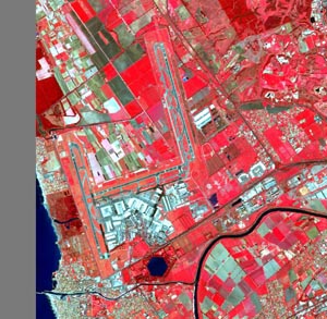
Natural colours and False colour infrared: why do we use different data visualisations? |
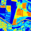 |
Spectral Indices: reducing the complexity of data |
 |
Radar satellites: views through darkness and clouds |